Arctia Meritaito, a subsidiary of Arctia, is going to map an offshore wind farm area in Norway. More specifically, Arctia Meritaito, a subsidiary of Arctia, has been awarded by the Norwegian Mapping Authority a contract in the Mareano programme of 2024 for hydrographic seabed surveying of ca. 1900 km2.
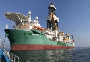
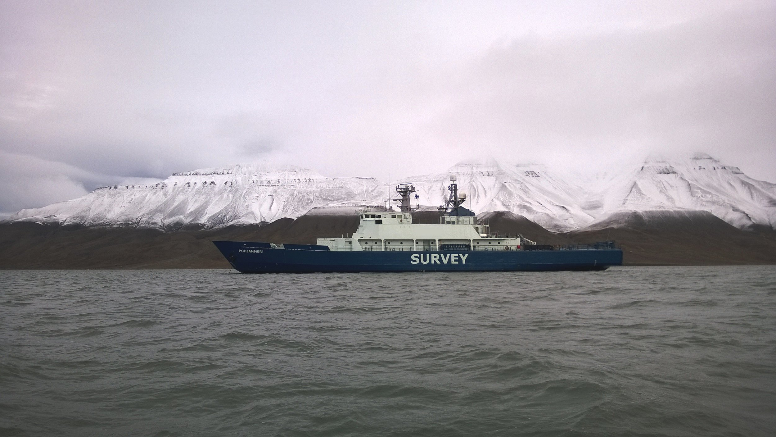
As it is reported by icebreaking, fairway maintenance and hydrographic surveying services provider Arctia, the surveys will be conducted by the multipurpose research vessel Pohjanmeri.
“Departure to the Norwegian waters is expected as soon as ice has cleared, and the ship will return to Finland near the end of the summer,” mentioned the company in its website.
Arctia is participating in the Mareano programme for the third time.
Lauri Pöyhönen, SVP of Arctia’s Marine Survey Services, said: “The Norwegian Mapping Authority quality requirements are one the highest in the world and being awarded another contract is a demonstration of trust in Finnish expertise in this field. Each year of collaboration also presents a great opportunity to develop this expertise in an international environment.”
As it is furthermore reported by Arctia in its official website which cites NHS “Arctia Meritaito is going to survey with multibeam echosounder and sub bottom profiler in potential offshore wind area Sørvest F in the North Sea.”
“The Norwegian Mapping Authority, Hydrographic Service (NHS) is pleased to award one of this year’s contracts to Arctia Meritaito. The MAREANO programme maps depth and topography, sediment composition, biotopes and habitats in Norwegian Waters. Arctia Meritaito is going to survey with multibeam echosounder and sub bottom profiler in potential offshore wind area Sørvest F in the North Sea. The Norwegian Government has an ambition to develop Offshore Wind to increase access to renewable energy. NHS are looking forward to work together again after good collaboration in earlier years,” says NHS.
Source: Arctia