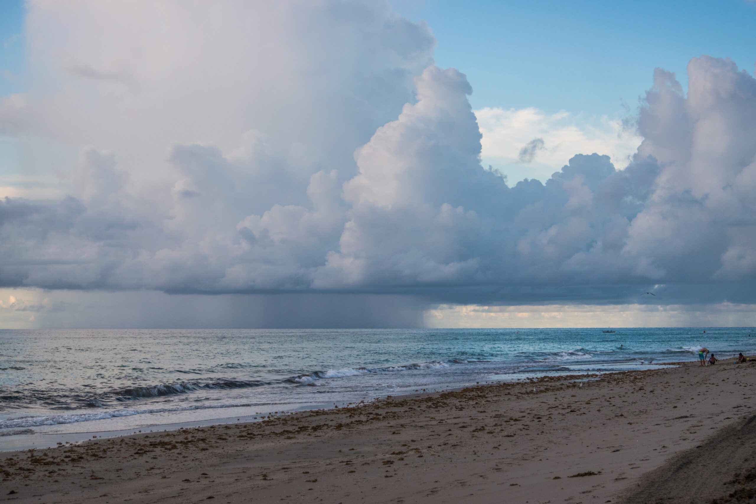
Hurricanes have been the cause of many maritime accidents and disasters in the past. Modern vessels are still vulnerable to major storms, as it happened last week, when a storm off the coast of Charleston in South Carolina, USA, battered a Carnival cruise ship for hours before it docked, leaving passengers terrified. Now, the United States National Oceanic and Atmospheric Administration (NOAA) warns that there is a high chance of above-normal central Pacific hurricane season in 2023.
This is another incident lately that is impacting shipping after the severe Tropical Cyclone Ilsa in Australia, the strongest cyclone in a decade.
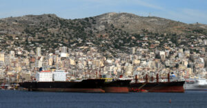
Australia was hit few months ago by the strongest cyclone in at least a decade, with the port of Port Hedland issuing an order for all ships to clear the port and its anchorage. No movements were permitted in the inner harbour without the prior approval from the Harbour Master.
According to the outlook from NOAA’s Central Pacific Hurricane Center and NOAA’s Climate Prediction Center, divisions of the National Weather Service, there is a 50% chance of above-normal tropical cyclone activity during the central Pacific hurricane season this year.
“NOAA predicts a near- or above-normal 2023 central Pacific hurricane season,” says NOAA in a news statement.
The outlook also indicates a 35% chance for near-normal activity, and only a 15% chance of a below-normal hurricane season in the central Pacific.
For the 2023 season, 4 to 7 tropical cyclones are predicted for the central Pacific hurricane region, which is located north of the equator between 140°W and the International Date Line. A near-normal season has 4 or 5 tropical cyclones. Tropical cyclones include tropical depressions, tropical storms and hurricanes.
“Hurricane season in the central Pacific region is expected to be slightly busier this year, compared to a normal season,” said Matthew Rosencrans, NOAA’s lead seasonal hurricane forecaster at the Climate Prediction Center.
“A key factor influencing our forecast is the predicted arrival of El Nino this summer, which typically contributes to an increase in tropical cyclone activity across the Pacific Ocean basin”, Rosencrans added.
The Central Pacific Hurricane Center continuously monitors weather conditions using satellites, land-and ocean-based sensors and aircraft reconnaissance missions operated by NOAA and its partners.
These observations are fed into complex computer models that run on NOAA’s supercomputers. Forecasters at the Center use that information to develop storm track and intensity forecasts, and provide critical decision support services to emergency managers at the US federal, state and county levels.
Through the use of a recurring risk analysis, mariners can minimize potential impacts of a hurricane encounter. The risk analysis includes a number of extremely important factors needed to make sound decisions and ultimately remain clear of hurricanes at sea or in port.
This summer, NOAA will increase its supercomputing capacity by 20%, allowing for more detailed, higher-resolution forecast models, advanced physics and improved data assimilation. Once implemented, the computing system will be able to perform 29 quadrillion calculations per second. The expansion will allow for forecast model upgrades for years to come.