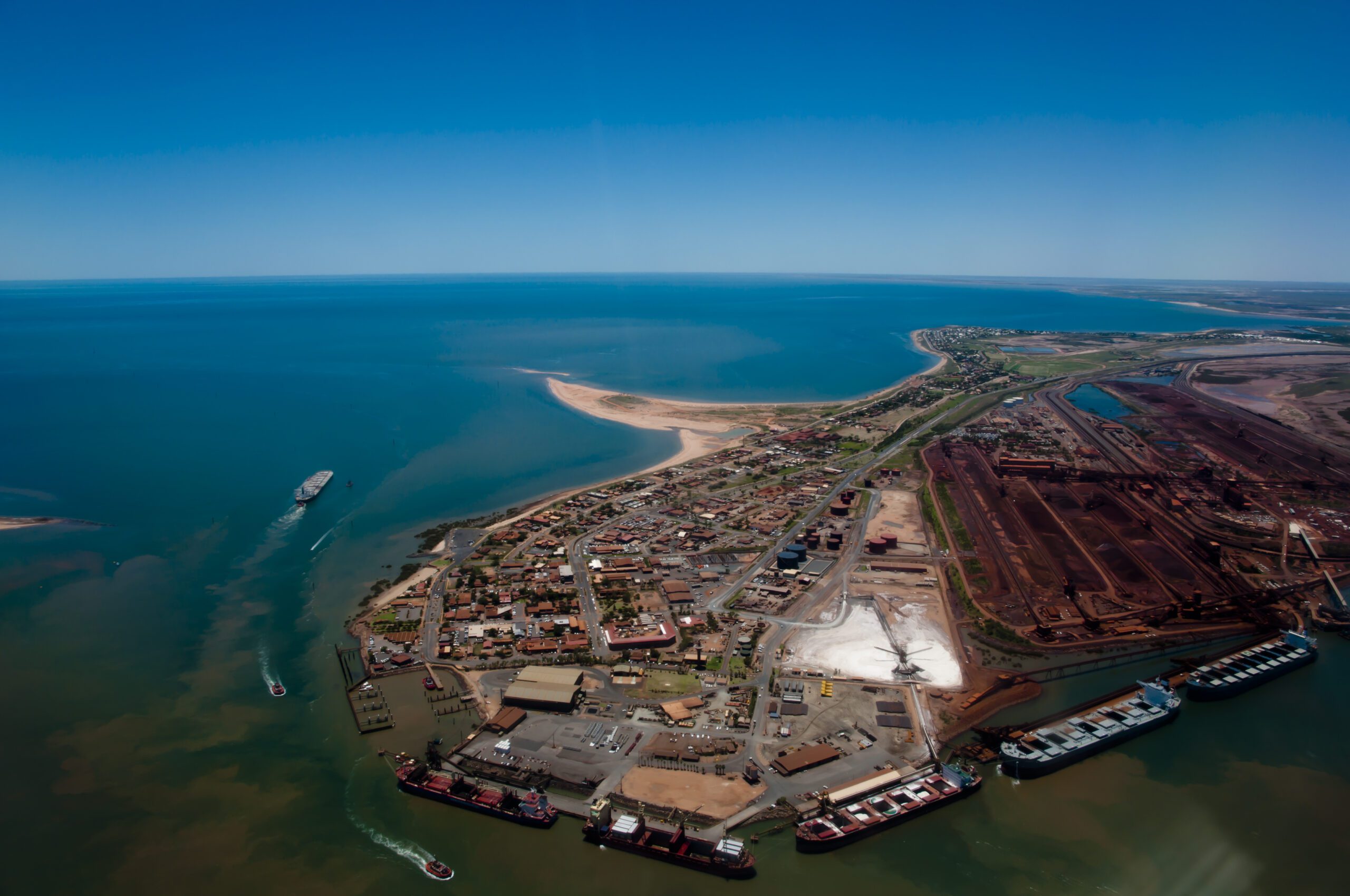
The port of Port Hedland is now at Cyclone Alert Stage 4 – Shut Down, as Severe Tropical Cyclone Ilsa is expected to reach Category 5 strength before crossing the coast between Port Hedland and Wallal Downs later tonight or early on Friday morning, as global provider of shipping, logistics and marine services GAC reports today in its website.
All inner anchorages and berths have been cleared, and vessels secured to moorings as per their cyclone contingency plans. No movements are permitted in the inner harbour without prior approval from the Harbour Master.
Terminal/berth operators are to ensure that the wharf areas are inspected for and cleared off / secured for any items that may have the potential to fall into the berth pockets or adjacent areas during periods of strong winds. Port Hedland VTSC is unmanned until further notice.
As it is furthermore reported by GAC, the ports of Dampier, Ashburton, Varanus Island & Cape Preston West are at Cyclone Alert Stage 1 – Monitor. Shipping operations will continue as planned. Adjustments will be made by terminals based on prevalent and expected weather and swell conditions associated with the tropical system.
At 11:00am AWST, Category 4 Severe Tropical Cyclone Ilsa had sustained winds near the centre of 185km per hour with wind gusts to 260km per hour. It was ocated within 20km of 18.1 degrees South, 118.8 degrees East, 245km north of Port Hedland and 270km northwest of Wallal Downs, and moving south southwest at 16km per hour.
Ilsa is expected to turn to the southeast this afternoon and develop further, and is now forecast to reach Category 5 intensity as it move towards the east Pilbara coast.
“A severe impact will occur along the coast and adjacent inland parts to the east of Port Hedland and west of Wallal Downs, most likely between Pardoo Roadhouse and Wallal Downs, later tonight or early Friday morning. During Friday, Ilsa is forecast to maintain tropical cyclone intensity as it tracks past Telfer and further inland across the Northern Interior district. The system is expected to weaken below tropical cyclone strength overnight Friday as it moves east into southern parts of the Northern Territory,” as GAC notes.
Source: GAC Hot Port News