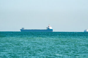
Ship captains have been warning of GPS interference in the Red Sea, according to reports received on May 9 by the United Kingdom Maritime Trade Operations (UKMTO), which operates a voluntary reporting scheme (VRS) for the Indian Ocean, specifically Red Sea, Gulf of Aden, and Arabian Sea.
UKMTO received corroborating reports from vessels experiencing GPS interference in the Red Sea.
The disruptions lasted several hours, affecting navigation systems and requiring vessels to rely on backup methods.
“Masters who experience disruption to electronic navigation systems (GPS / AIS / Other PNT) anywhere within the UKMTO Voluntary Reporting Area (VRA) are requested to contact UKMTO watchkeepers,” the UKMTO statement reads.
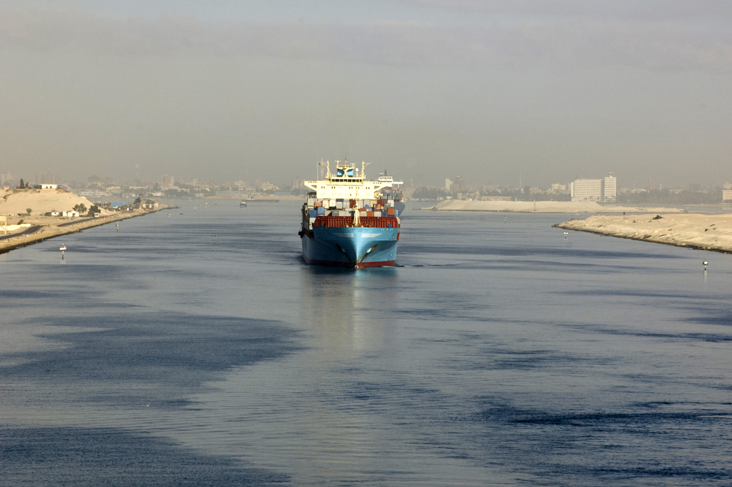
Meanwhile, ship captains have been warning of GPS interference in the Strait of Hormuz, according to reports received on March 10 by UKMTO.
The incident report, documented at 1830 UTC, underscores ongoing concerns about GPS interference in the region.
In 2019 the U.S. Department of Transportation’s Maritime Administration issued an advisory warning that vessels operating in the Persian Gulf, Strait of Hormuz, and Gulf of Oman may encounter “GPS interference, bridge-to-bridge communications spoofing, and/or other communications jamming with little to no warning.”
GNSS interference has also become a growing challenge in the Baltic Sea, affecting maritime navigation, aviation, and critical infrastructure.
While numerous datasets and services report high-altitude GNSS interference based on ADS-B data, there is a significant lack of studies focusing on ground-level interference.
Since most critical infrastructure relies on GNSS at ground level, this gap in research leaves many questions unanswered about the real-world impact of interference on essential systems.