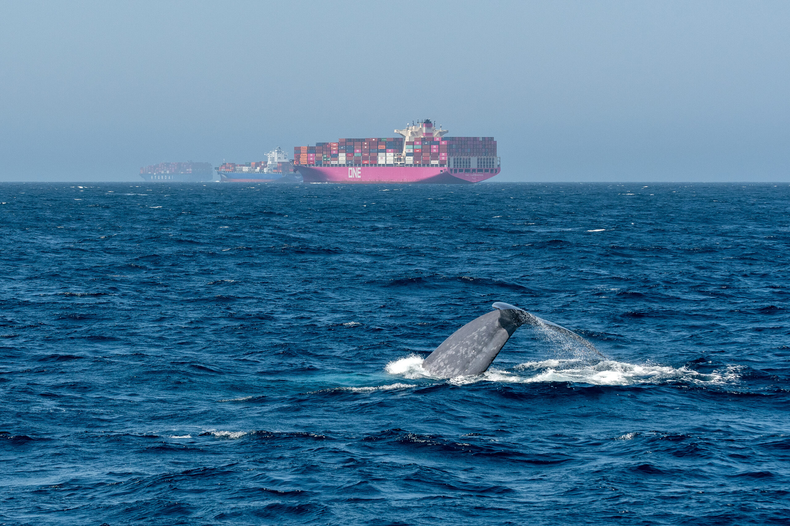
Accidental collisions between ships and whales are an international concern and can occur in several places around the world where there is an overlap between whale activity and vessel traffic.
The whales and other cetaceans who travel far and spend considerable time at the surface are especially vulnerable to injury by vessel traffic, and the World Shipping Council (WSC) being the united voice of international liner shipping, now have made a navigational aid to protect the whales in our oceans.
The WSC Whale Chart is the first global mapping of all mandatory and voluntary governmental measures to reduce the harm to whales from ships, so the WSC Whale Chart has been made to help seafarers plan their voyages to minimize the risk of collisions.
The WSC Whale Chart offers seafarers critical navigational coordinates and concise graphics to identify routing measures and areas subject to static speed restrictions designed to protect whales and other cetaceans.
“We hope that by compiling this unique navigational aid, keeping it updated and making it available for free to all navigators, we can help reduce ship strikes and safeguard endangered whale populations across the globe,” WSC noted in its statement.
The WSC Whale Chart is available for free to download on the WSC website and will be regularly updated.
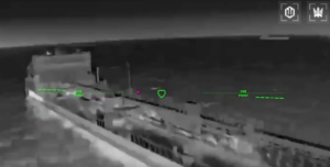
Video credit: World Shipping Council