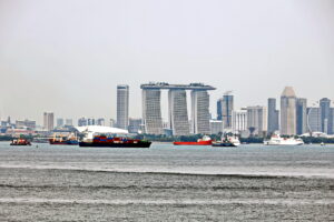
GNSS interference has expanded from two regional hotspots, the Black Sea and the Baltic, to at least six key maritime areas: the Mediterranean Sea, the Red Sea, the Persian Gulf, the Caribbean Sea, the Black Sea, and the Baltic Sea. Some interference has been experienced in the South China sea, but very little has been experienced in UK and USA coastal waters.
The data show a pattern that can no longer be ignored. There are clearly serious concerns that this situation is not improving.
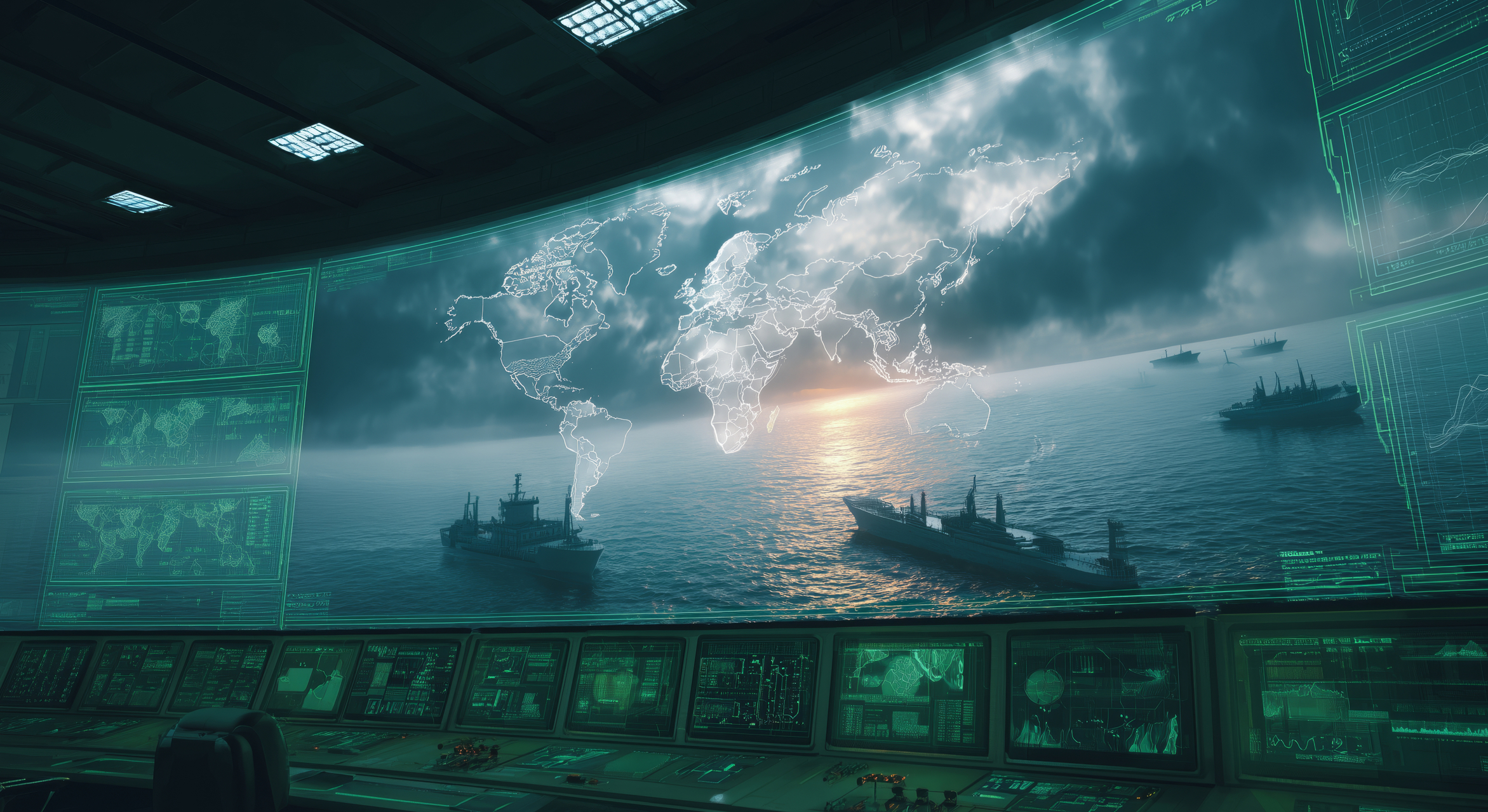
GNSS disruption now spans all main commercial shipping corridors, confirming its transition from a local issue to a global operational challenge.
In 2025, at least two collisions and groundings were reported in mainstream media linked to Global Navigation Satellite Systems (GNSS) interference in regions such as the Baltics, Straits of Hormuz and the Red Sea.
The UK’s Royal Institute of Navigation (RIN) issued recently its maritime report revealing the impacts of GNSS interference in the maritime sector.
The RIN Maritime GNSS Interference Working Group has assessed that the impact of GNSS interference on maritime safety, vessel operations, and port security is very serious, with 75% of the respondents are of the opinion that this situation is not improving.
Of the 271 respondents, 212 reported that they had experienced GNSS interference (79% of those surveyed).
Around 2% of the respondents reported that the UK and USA regions had experienced GNSS or AIS interference, but this proportion is lower than the margin of error (±6%) for the size of this dataset, and so no firm conclusion can be drawn here (i.e. those responses were so rare relative to the sample size that they could have been caused by accidental/erroneous survey selections).
By comparison in the Persian Gulf, over 80% of those who had been in that region had experienced GNSS or AIS interference.
The systems reported to be impacted the most often include the GNSS receiver (85% of respondents), AIS (75% of respondents), ECDIS (70% of respondents) and RADAR (51% of respondents).
Systems that historically have not required any access to GNSS data in order to function, such as the VHF,MF/HF and NAVTEX radio systems are also reported in the survey as being disrupted during GNSS interference, with 29% of respondents reporting issues with their VHF,MF/HF radios, and 15% reporting issues with NAVTEX.
Issues with satellite communications were reported during GNSS interference by 33% of respondents.
Of most concern are the SOLAS (Safety of Life at Sea) required equipment and systems, with 7% of respondents reporting that they had seen the time displaying incorrectly on SOLAS required systems during GNSS disruption.
Similarly, 35% of the respondents reported Global Maritime Distress and Safety Systems (GMDSS) being impacted during GNSS disruption, with 11% of respondents specifically reporting time being displayed incorrectly on their GMDSS.
The other systems that the survey respondents indicated were known to be impacted during GNSS interference were: gyrocompass, autopilot, Doppler log, ship’s clock, VDR, DP, SSAS (Ship Security Alert System), VMS, and INS.
There are clearly serious concerns with regards to safety of the vessel (67%) and personal safety/wellbeing (56%). There are lower but still noteworthy concerns with crew/passenger safety (50%) and cargo control (30%).
On the topic of additional support, 67% of respondents would like a warning before entering GNSS interference regions, 50% desire better equipment, 40% would like an alarm system, 35% would like to be able to isolate GNSS from other digital systems, and 22% reported a desire to know how to and be permitted to reset their GNSS receiver.
For GNSS receivers, it was reported that the system needed to be manually adjusted or power cycled 20% of the time in order to recover fully from interference. There were no reports of the device being permanently damaged and having to be completely replaced. The other systems that were reported to need power cycling or manual interventions to ensure recovery from interference regions were the AIS, ECDIS, RADAR, gyro, autopilot, ship’s clock, VHF,MF/HF radios, GMDSS and satellite communications.
Survey data exposes the vulnerability of critically important systems such as Global Maritime Distress and Safety Systems (GMDSS) and other SOLAS-mandated equipment that rely on satellite positioning and timing.
The distribution of respondents by vessel class was 61% tankers, 14% container/cargo, 4% passenger/ cruise ship, 4% offshore installation and the final 17% were drawn from a very large set of categories (e.g. tugboats, private yachts, military vessels, maritime search and rescue craft).
The job roles of the respondents were distributed as follows: 57% were captain/master, 24% were chief mate/officer of the watch/cadet, 9% were a superintendent, and the remaining 10% were drawn from a large set of categories (e.g. owner, client, dock master, VTS officer, DP officer, inspector, trainer).
“The report has highlighted serious safety concerns and has underlined the fact that these issues are rooted in significant cybersecurity vulnerabilities, and are not just disruptions to navigation,” mentions director of the RIN, Dr Ramsey Faragher.
When asked about the confidence that the respondents had in using their systems to detect GNSS jamming and spoofing, 20% of the respondents were not confident that their systems could easily detect GNSS jamming, and 27% of the respondents were not confident that their systems could easily detect GNSS spoofing. The distribution was similar for AIS spoofing, with 36% of respondents expressing low confidence in the use of their systems to detect AIS spoofing.
Even within the most interfered regions, there are still a noticeable number of reports of “no impact” by some respondents.
This is likely to be either due to some vessels already having suitably robust equipment onboard capable of defeating the interferences, or is evidence that interference is not covering 100% of these entire regions or is not enabled 100% of the time. For example, roughly ⅓ of respondents reported daily interference in the Baltics and roughly ⅓ of respondents stated no interference at all in the Baltics. This difference is likely to be caused by different respondents moving through different regions within the Baltics (interference is shown to be more common in the Eastern region of the Baltics than the Western region of the Baltics).
The respondents were also asked how long they notice the effects of interference on their systems in each of these regions. In the regions where GNSS interference was most common, disruptions lasting for a day or longer have been reported. In the worst affected region (the Persian Gulf) it was reported that more than 50% of the time that interference is encountered, it impacted the vessel for many hours or more than a day.
The motivations behind GNSS interference in the maritime sector range from high-level state-sponsored military strategy, to avoiding international sanctions, to illicit commercial gain through illegal fishing and smuggling.
In modern conflicts, Electronic Warfare (EW) such as GNSS jamming and spoofing can be used for defensive measures to protect critical infrastructure and military installations from drones and precision guided munitions. GNSS interference may also be used to intentionally restrict freedom of movement in specific areas for extended periods of time as a result of geopolitical disputes.
Vessels transporting sanctioned cargo, such as oil, can manipulate their AIS broadcasts to provide a false location, making it appear they are on a legitimate voyage while they are actually conducting a prohibited ship-to-ship transfer or port call.
Fishing vessels could spoof their location to appear outside of marine protected areas or another nation’s Exclusive Economic Zone while illegally harvesting resources.
GNSS spoofing can be used to misdirect cargo ships into unsafe locations for theft or ambushes.
Mitigating the risks posed by GNSS jamming and spoofing in VTS operations requires a combination of technical measures, operational procedures, training and local, national and international collaboration.
The truth is, the maritime industry is already running behind this problem. But it’s not too late to start building protection now – through awareness, collaboration, and technology that helps crews make the right decisions at the right time.